5 Groups Available
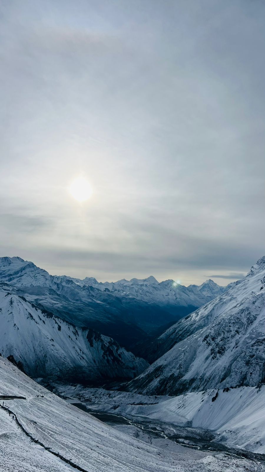
The Annapurna Circuit Trek is one of Nepal’s most celebrated Himalayan journeys, encircling the magnificent Annapurna region through the protected Annapurna Conservation Area, the country’s largest conservation zone. Depending on the starting and ending points, trekkers typically cover about 160–230 kilometers while gradually ascending from lush subtropical valleys to the high mountain desert surrounding Thorong La Pass (5,416 m), the trek’s highest point. Along the route, breathtaking peaks such as Annapurna I (8,091 m), Annapurna II, Annapurna III, Annapurna IV, Gangapurna, Machhapuchhre (Fishtail), Dhaulagiri (8,167 m), and Manaslu create a dramatic Himalayan panorama. Major places of attraction include Besisahar, Chame, Pisang, Manang, Yak Kharka, Thorong Phedi, Muktinath, Jomsom, and the deep gorge of the Kali Gandaki Valley, offering an extraordinary blend of mountain scenery, adventure, and natural beauty.
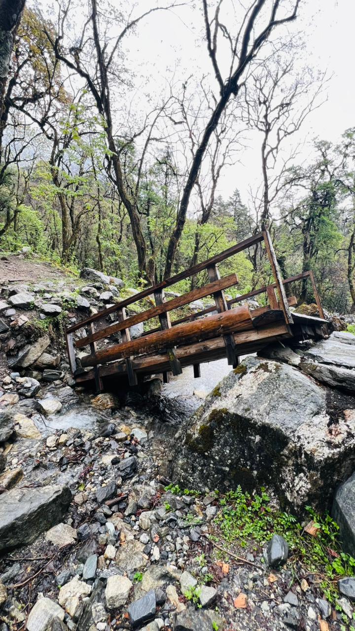
Beyond its landscapes, the Annapurna Circuit is renowned for its rich cultural and ecological diversity. The trail passes through settlements inhabited by Gurung, Magar, Thakali, and Manangi communities, whose traditions reflect a harmonious mix of Buddhist and Hindu religious practices. Ancient monasteries, prayer wheels, chortens, and the sacred temple of Muktinath highlight the spiritual significance of the region. Vegetation changes dramatically with elevation, ranging from terraced farmlands, rhododendron and pine forests, to alpine meadows and sparse high-altitude shrubs. Local livelihoods depend heavily on agriculture, tourism, and the use of yaks and mules, which transport goods along remote mountain trails. The conservation area also shelters diverse wildlife, including Himalayan tahr, blue sheep, musk deer, langurs, snow leopards, and numerous bird species. Together, the region’s natural wealth, cultural heritage, and resilient mountain life make the Annapurna Circuit an unforgettable trekking experience and a remarkable showcase of Nepal’s Himalayan environment.
Tap a day to expand the details.
The circuit begins with a long drive west out of Kathmandu, following the Trishuli River through terraced hillsides and roadside bazaars before turning north at Dumre into the Marsyangdi Valley. The road narrows as the valley closes in, with the river running fast and green below and the first high ridges rising ahead. Besisahar is the administrative centre of Lamjung and the traditional trailhead for the circuit, a busy strip of lodges, gear shops and jeep stands. Your guide will confirm permits and the next morning’s transport here, and the evening is a good chance to repack before the trail starts.
A shared jeep takes over where the tarmac ends, grinding up the rough road along the Marsyangdi through Bhulbhule, Ngadi and Syange. It is a spectacular, bumpy ride on a shelf road cut into the gorge wall, with waterfalls dropping past the windows and suspension bridges strung high above the river. Most groups now use this stage to skip the dusty lower road walking and save two days for the high country. Jagat is an old Tibetan salt-trading post of stone houses set on a terrace above the river, and the first place where the valley starts to feel properly Himalayan.
Walking begins in earnest today. The trail climbs and drops along the east bank of the Marsyangdi through Chamje, crosses the river on a long suspension bridge and enters the Manang district at the Tal waterfall, where the valley suddenly opens into a flat sandy bed that was once a lake. From Tal the path threads through gorges on carved stone steps, passing Dharapani’s entrance chorten by late afternoon. The vegetation changes quickly here from subtropical bamboo and banana to pine and blue fir, and the first snow peaks show at the head of the valley.
The trail leaves the Marsyangdi’s lower gorges and climbs steadily through pine and fir forest, with Annapurna II filling the skyline to the south. You pass through Bagarchhap and Danaque, then a steep forested section to Timang, where the views open out properly for the first time. The walk continues gently on to Koto and Chame, the district headquarters of Manang, which has a bank, shops, a checkpost for your ACAP permit and small hot springs by the river. At 2,670m the air is noticeably cooler, and the evening lodges have their stoves lit.
One of the most scenic days on the circuit. The trail follows the river through steep pine forest to Bhratang, then crosses to the north bank beneath the vast curved rock face known as Paungda Danda, a smooth granite wall rising more than 1,500 metres straight from the riverbed. After a long steady climb you reach Dhukur Pokhari, where the valley opens into dry alpine country, and take the upper trail to Upper Pisang. The old village sits on a shelf beneath a hillside monastery, with Annapurna II and Pisang Peak standing directly across the valley.
Today takes the high route on the north side of the valley, the more beautiful and better-acclimatising of the two options. The trail climbs steeply to Ghyaru, a fortified-looking Tibetan-style village of flat-roofed stone houses, from where the entire Annapurna range lines up across the valley: Annapurna II, III and IV, Gangapurna and the fluted ice of Tilicho Peak. The path then contours along the hillside, high above the river, before descending gently to Ngawal. It is a short day by distance but a demanding one for the height gained, and the views justify every metre.
An easier day that lets your body catch up. The trail drops from Ngawal onto the valley floor at Mungji, rejoining the main route among barley fields and irrigation channels. You pass Braga, whose 500-year-old gompa is stacked against a cliff of eroded pillars and holds a remarkable collection of statues and thankas, worth the short climb to visit. From there it is a level half-hour to Manang, a substantial village of stone houses, bakeries and gear shops, where most trekkers spend two nights. Gangapurna glacier and its milky lake sit just below the village.
A rest day here is essential before the pass, and the best way to use it is to climb high and sleep low. The hike up to Ice Lake, a hard, steady ascent of more than a thousand metres, is the classic acclimatisation outing and gives an extraordinary panorama over the Manang valley to Annapurna III and Gangapurna. Shorter alternatives are the Gangapurna glacier lake or the viewpoint above Praken Gompa. In the afternoon, the Himalayan Rescue Association in Manang runs a free talk on altitude sickness that is worth an hour of anyone’s time.
The trail leaves the valley floor and starts the sustained climb towards the pass, crossing dry, open country where the last juniper and scrub give way to grass and rock. You pass a mani wall and the small settlements of Gunsang and Yak Kharka, with blue sheep often visible on the slopes above and yak herds grazing the high pastures that give the place its name. It is a short day by design, gaining around 600 metres to help acclimatisation. From the lodges the views stretch back down the valley towards Annapurna III and Chulu West.
Another deliberately short stage, with plenty of rest before the pass. The trail climbs gradually to Ledar, then traverses a narrow, landslide-prone section high above the Jarsang Khola before crossing the river and climbing to Thorong Phedi, the last lodges before the pass. Those feeling strong can carry on another hour up the steep switchbacks to High Camp, which shortens tomorrow’s climb considerably but makes for a colder night. Your guide will decide based on how the group is going. Either way, the afternoon is for eating, drinking and sleeping early.
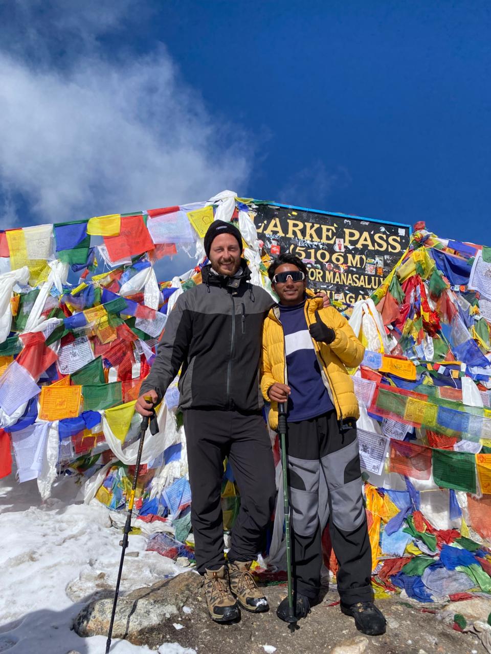
The biggest day of the circuit starts in the dark, usually between four and five in the morning, to cross the pass before the wind picks up. The climb is relentless rather than technical, a series of false summits on frozen switchbacks, and the cold and thin air make it hard work. Thorong La at 5,416m is marked by a cairn of prayer flags and a small tea hut, with Dhaulagiri and the Kali Gandaki valley spread out to the west. The descent to Muktinath is long and steep, dropping over 1,600 metres to the sacred temple complex and its 108 water spouts.
After a morning visit to the Muktinath temple, sacred to both Hindus and Buddhists, the trail drops through the wind-scoured villages of Jharkot and Khingar into the Kali Gandaki, the deepest gorge on earth measured between the Annapurna and Dhaulagiri massifs. The afternoon wind funnelling up the valley is famous and relentless, so groups cover the open stretch to Jomsom early. From Jomsom a quieter trail continues to Marpha, a Thakali village of whitewashed houses, flagstone lanes and apple orchards, known throughout Nepal for its apple brandy and dried fruit.
A long descent down the Kali Gandaki, with the walls of Dhaulagiri and Nilgiri towering on either side. The route passes through Tukuche, once a major stop on the salt trade route between Tibet and the lowlands, and Larjung, where a side trail gives views of the Dhaulagiri icefall. As you lose height the landscape turns green again: pine forest returns, then terraced fields and banana palms. Ghasa marks the southern edge of the Thakali region and the top of the rhododendron belt, which turns the hillsides red in spring.
A gentler day, dropping steadily through subtropical forest beside the river as the air turns warm and humid again. The trail passes the Rupse Chhahara waterfall, which spills directly onto the trail in several tiers, and crosses the Kali Gandaki a number of times on suspension bridges. Tatopani, meaning ‘hot water’, is named for the natural hot springs on the riverbank, and a long soak there is the traditional reward for the pass crossing. At 1,190m it is the lowest point of the trek, with citrus trees and rice terraces around the village.
The last big climb of the circuit, and a demanding one: more than 1,600 metres of ascent on stone staircases through the villages of Ghara, Shikha and Chitre. The trail leaves the Kali Gandaki behind and works up the ridge into rhododendron forest, thick and mossy, with views opening back towards Dhaulagiri as you gain height. Ghorepani sits in a saddle on the ridge at 2,810m, a cluster of blue-roofed lodges usually wrapped in late-afternoon cloud. It is cold here after the warmth of the valley, and the lodges are built around wood stoves.
An early start in the dark for the hour’s climb to Poon Hill, the most famous sunrise viewpoint in Nepal, where the light comes up across Dhaulagiri, Annapurna South, Machhapuchhre and Nilgiri in turn. After breakfast back in Ghorepani, the long descent begins: the stone staircase down to Ulleri, then forest and farmland through Tikhedhunga and Birethanti to the roadhead at Nayapul. From there a short drive brings you into Pokhara and the comfort of a lakeside hotel, with a hot shower and a proper meal at the end of the circuit.
A free day by the lake to recover. Pokhara is built along the shore of Phewa Tal, with the Annapurnas and the fishtail summit of Machhapuchhre reflected in the water on clear mornings. You can take a rowing boat out to the Tal Barahi temple on its island, walk or taxi up to the World Peace Pagoda for the view back over the lake, or ride up to Sarangkot for sunrise. The International Mountain Museum is worth a visit, and lakeside has bookshops, cafes and gear stores for anything you want to take home.
The last day of your journey, leaving the Annapurna ranges behind. The drive back to Kathmandu follows the Prithvi Highway east along the Trishuli River, through roadside towns and terraced hills, and takes most of the day; the mountain flight covers the same ground in under half an hour and is worth the extra cost if your schedule is tight. Back in Kathmandu you are transferred to your hotel, with the rest of the day free for last-minute shopping in Thamel, preparations for returning home, or your next plans in Nepal.
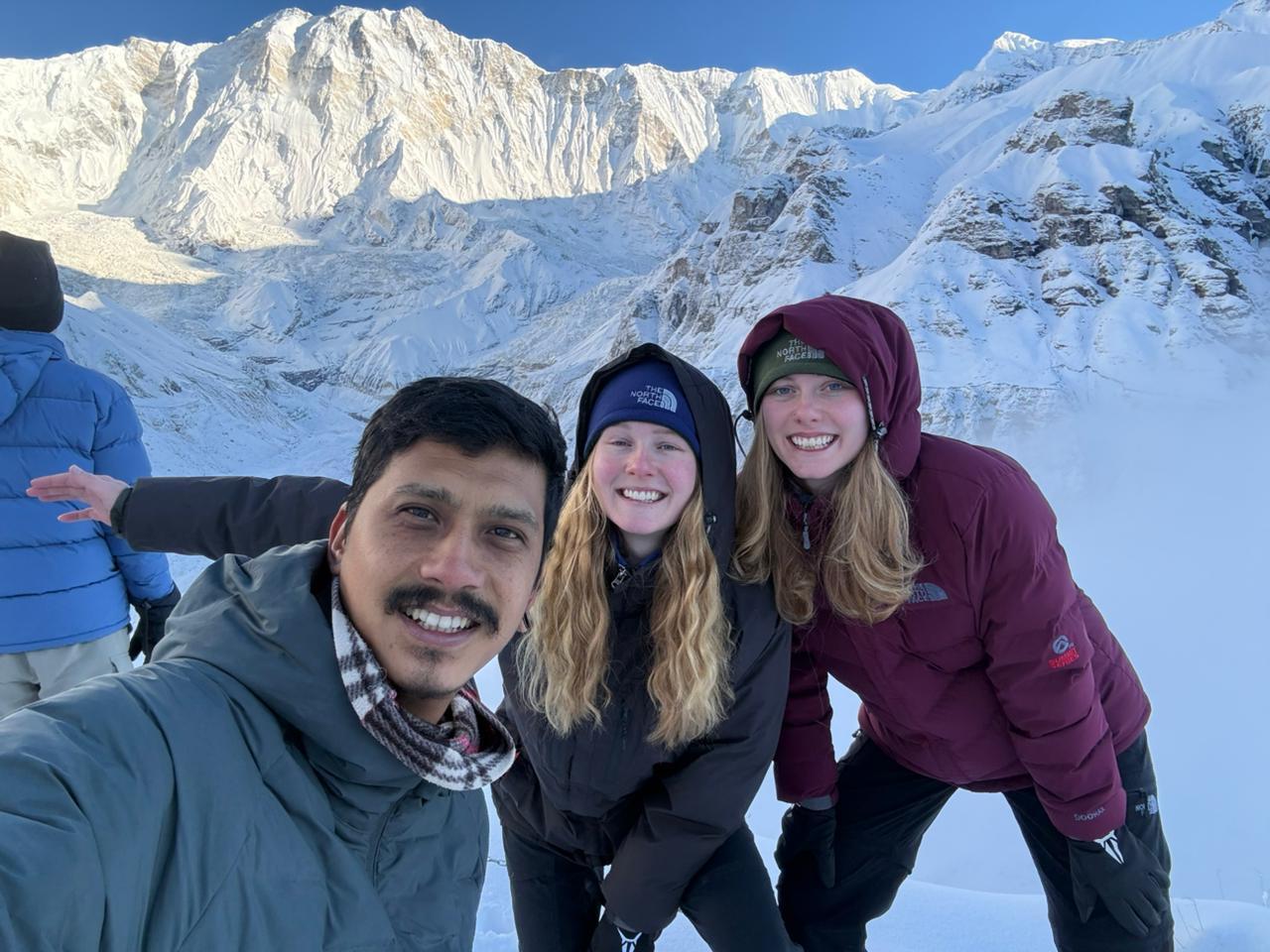
Altitude sickness can occur when your body struggles to adjust to high elevations and lower oxygen levels. During the Annapurna Base Camp Trek, you may experience symptoms such as headache, dizziness, nausea, tiredness, or difficulty sleeping. Stay hydrated, ascend gradually, and inform your guide immediately if you feel unwell. Planning your Annapurna Base Camp adventure with an experienced local trekking company can make your journey more organized and enjoyable. If you are looking for a trusted trekking company in Nepal, our team at Mountain Mate Trek is available to help you plan and experience your Himalayan adventure at www.mountainmatetrek.com

1 review
Log in to share your experience of this trek.
Chris Whelan
Thorong La in perfect weather. Excellent porters and the permits were all handled for us.