4 Groups Available
Nar Phu Valley trek remains an extraordinary blend of remote Himalayan wilderness, preserved Tibetan Buddhist culture, and alpine biodiversity—a destination offering a rare glimpse into Nepal’s hidden highland heritage.
Nar Phu Valley, located in northern Manang within Nepal’s Annapurna region, has remained largely inaccessible and undiscovered for centuries, preserving an authentic Tibetan-influenced highland culture. The valley's inhabitants trace their origins to Khampa warriors and Tibetan settlers who fled political upheavals in Tibet. Their enduring legacy includes centuries-old monasteries like Tashi Lhakhang in Phu and multiple gompas in Nar, fortresses, mani walls, and traditional ultramaritime Tibetan Buddhist practices. Isolation safeguarded the valley's heritage, maintaining practices, Bon-Buddhist syncretism, and community rituals largely untouched until its controlled opening to trekkers in the early 2000s.
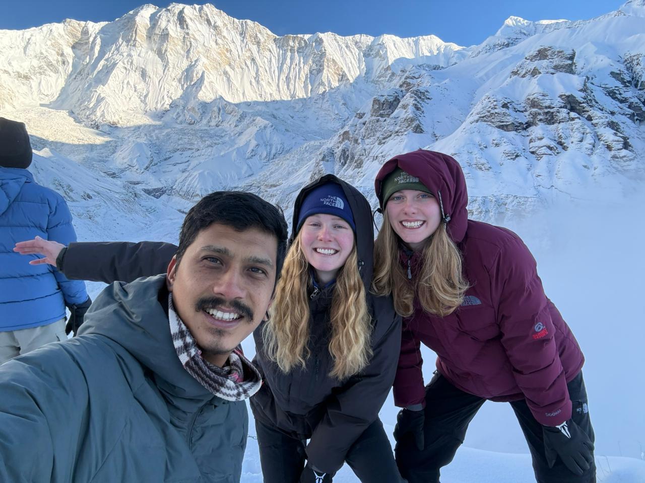
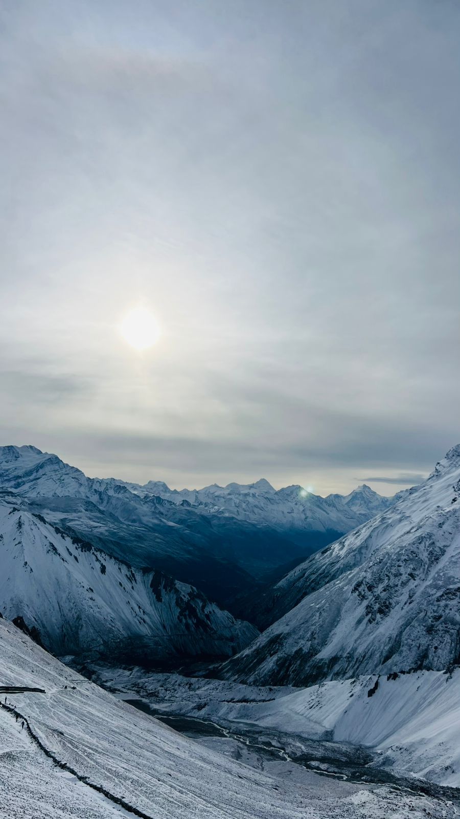
Nestled between the Annapurna and Manaslu ranges, the Nar Phu Valley spans elevations of roughly 3,000 m to 7,140 m, encompassing rugged cliffs, narrow gorges, high plateaus, glaciers, and barren yet striking landscapes reminiscent of Upper Mustang. Iconic peaks visible from the valley include Kang Guru, Pisang Peak, Himlung Himal, Nemjung, Gangapurna, and Annapurna II. Its diverse high-altitude environment transitions from pine and rhododendron forests in lower reaches to arid alpine zones, presenting dramatic vistas, turquoise glacial rivers, and flourishing spring alpine flora such as blue poppies, gentians, primulas, rhododendrons, and edelweiss.
The valley’s high-altitude pastures support the collection of Yarsagumba, often referred to as the "Himalayan mountain pea," a parasitic fungus valued for its use in traditional Tibetan medicine and as a high-altitude economic resource. Its seasonal harvesting contributes to local livelihoods alongside yak and barley farming.
Tap a day to expand the details.
Your trip begins on arrival at Tribhuvan International Airport in Kathmandu, where a representative will be waiting to meet you and take care of the transfer to your hotel, so there is no hassle with taxis or touts after a long flight. The rest of the day is yours to recover from the journey, walk the lanes of Thamel, or simply rest. In the evening your guide will call in to introduce themselves, run through the plan for the days ahead and answer any questions about the restricted-area permits for Nar Phu.
A day in Kathmandu for sightseeing and final preparation. Depending on your interests, you can visit the medieval palace squares of Kathmandu or Patan, the great stupa at Boudhanath with its circling pilgrims and butter lamps, the hilltop temple of Swayambhunath, or the riverside cremation ghats of Pashupatinath. There is a local food tour option too, taking in Newari specialities in the back lanes of the old city. In the afternoon your guide checks your gear, and anything missing can be bought or hired cheaply in Thamel.
It's the first day of the trek so we take early morning transport from Kathmandu to Koto-The gateway to hidden Gems Nar phu Valley. On the journey our veichles stop for couples of times for breakfast and lunch. The journey provides you different varities on landscape and villages with mix up of paved and bumpy motor trails in the hilly terrain.
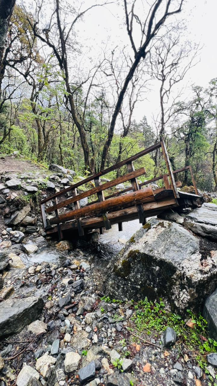
The trek proper begins today, entering the restricted Nar Phu valley with a packed lunch since there is nothing on the trail between the checkpost and Meta. The route leaves the Annapurna Circuit at Koto and turns north up the Nar Khola, following a narrow gorge through pine and bamboo forest, crossing and recrossing the river on small wooden bridges. It is a long, rocky and adventurous day with several steep sections and one dramatic stretch beside a waterfall. Meta is a small winter settlement on an open shelf, with the first views of Annapurna II and Kang Guru.
A short and gentle day that helps with acclimatisation. The trail undulates through high, dry country above the river, passing mani walls and old chortens, with the landscape turning increasingly Tibetan: eroded cliffs, juniper scrub and little vegetation beyond hardy grass. You pass the abandoned settlement of Chyakhu and see cave dwellings cut into the rock faces above the trail. Kyang is a seasonal herders’ village of stone houses, used only for part of the year, with ruins of a Khampa settlement and wide views up the valley.
Today Trek to Phu village and It is 4-5 hours walk via desert area and a Typical local village of Kyang village where people don't live whole months. The trail is gradual up and downhill to Phu village. You can see mountains of Annapurna ranges. Rest of explore the popular Tashi Gompa and around the villages. Then stay overnight at same Lodge.
Leaving Phu behind, the trail retraces the valley south before branching west towards the Nar side. The walking is high, open and exposed, with views back to Himlung Himal and the peaks along the Tibetan border, and the path crosses several side streams on wooden bridges. Nar Phedi sits at the bottom of the climb to Nar, and its small nunnery offers the night’s accommodation: simple rooms, a shared meal with the nuns and the chance to sit in on evening prayers. It is one of the most memorable stops on the trek.
A short climb this morning up a series of switchbacks, past a line of large painted chortens, brings you onto the plateau where Nar sits at 4,150m. The village is a maze of stone houses, prayer wheels and narrow lanes, with barley fields and stone-walled paddocks spread across the shelf and Pisang Peak filling the view to the south. The afternoon is free to wander, watch the yak herds being brought in, and let your body adjust; the short day is deliberate, since tomorrow’s pass crossing needs you properly acclimatised.
A full day in Nar, both for acclimatisation and for the village itself. Four gompas stand around the settlement, and it is possible to visit all of them in a morning: their main halls hold old thankas, carved woodwork and butter lamps, and the monks are welcoming to visitors who come quietly. Beyond the village, short walks lead up towards the pastures below the Kang La, which doubles as useful preparation for tomorrow. Nar sees few outsiders, and daily life here, herding, weaving and barley farming, continues much as it has for centuries.
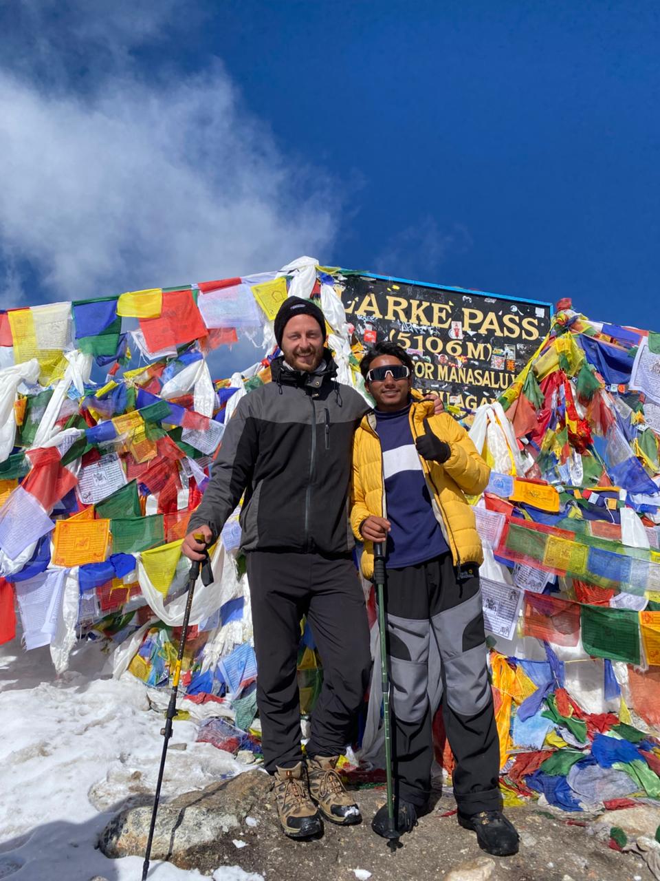
The biggest day of the trek, starting before dawn. The trail climbs steadily from Nar over grassy slopes and scree to the Kang La at 5,320m, a demanding ascent at altitude that takes four to five hours. The reward from the top is one of the finest viewpoints in the Annapurna region: the whole massif laid out ahead, with Annapurna II, III and IV, Gangapurna and Tilicho Peak across the Manang valley. The descent is long and steep on loose ground, dropping over 1,600 metres to Ngawal, a Tibetan-style village back on the Annapurna Circuit.
Back on the main circuit trail, the route takes the high path through Ghyaru, one of the most striking villages in the Manang valley, with its fortress-like stone houses and monastery perched above the river. The Annapurnas line up across the valley all morning. From there the trail descends to Upper Pisang, crosses to the south bank and follows the valley down through pine forest, past the huge rock face of Paungda Danda, to Chame. As the district headquarters of Manang, Chame has shops, a bank and small hot springs by the river.
A long descending day through the middle Marsyangdi valley. The trail drops through Koto and Bagarchhap, where the forest thickens with pine and blue fir, then continues down through Danaque and Dharapani, the junction with the Manaslu Circuit. Below Dharapani the gorge narrows and the path follows the river closely, passing waterfalls and long mani walls. Tal sits on a wide, flat sandy plain that was once a lake bed, with a waterfall at its head, and it makes an unusually pleasant last night in the mountains.
A short final walk this morning, following the Marsyangdi downstream on stone steps carved into the gorge wall and crossing suspension bridges to Chamje. From the roadhead there a jeep takes over for the rough ride down to Besisahar, bumping along the shelf road cut into the valley side, with waterfalls and the river below. You leave the mountains behind quickly on this stretch, and the terraced hillsides and subtropical warmth of lowland Nepal return within a couple of hours. Overnight in Besisahar.
The last day is an easy one: the drive from Besisahar follows the Marsyangdi down to Dumre, then joins the Prithvi Highway east along the Trishuli River back to Kathmandu, through roadside bazaars, terraced hills and river valleys. There are stops for tea and lunch on the way, and the journey takes most of the morning and early afternoon. On arrival you are transferred to your hotel, with the rest of the day free to shower, rest, shop in Thamel for souvenirs, or celebrate the end of the trek with your guide and crew.
Altitude sickness can occur when your body struggles to adjust to high elevations and lower oxygen levels. During the Annapurna Base Camp Trek, you may experience symptoms such as headache, dizziness, nausea, tiredness, or difficulty sleeping. Stay hydrated, ascend gradually, and inform your guide immediately if you feel unwell. Planning your Annapurna Base Camp adventure with an experienced local trekking company can make your journey more organized and enjoyable. If you are looking for a trusted trekking company in Nepal, our team at Mountain Mate Trek is available to help you plan and experience your Himalayan adventure at www.mountainmatetrek.com

No reviews of this trek yet — if you have trekked it, yours would be the first.
Log in to share your experience of this trek.